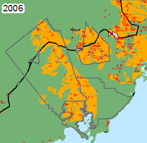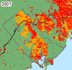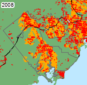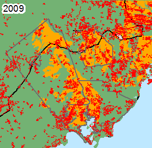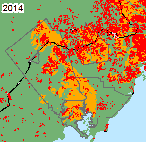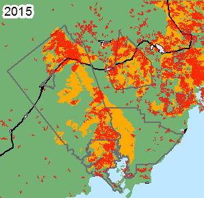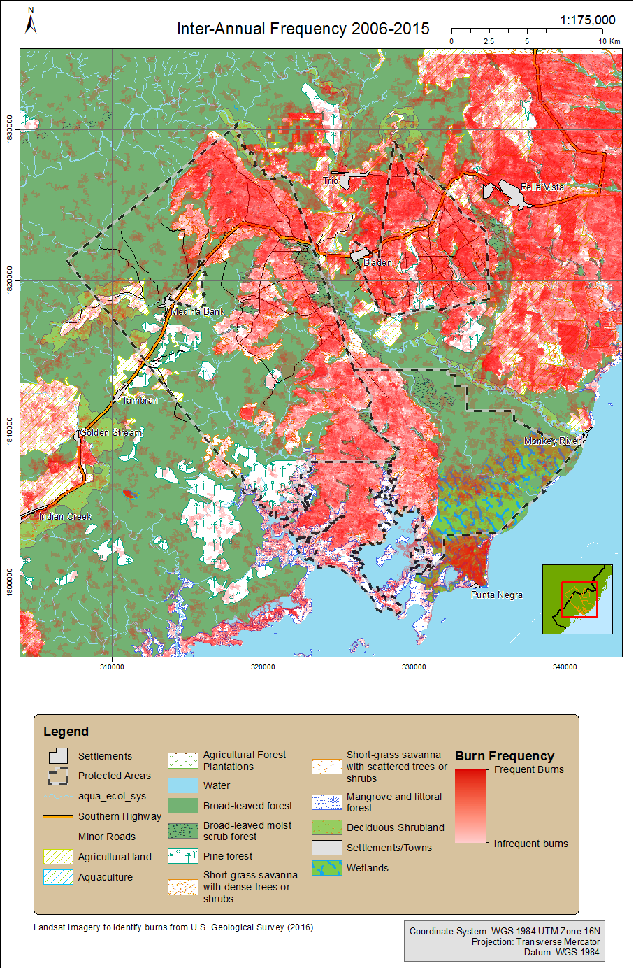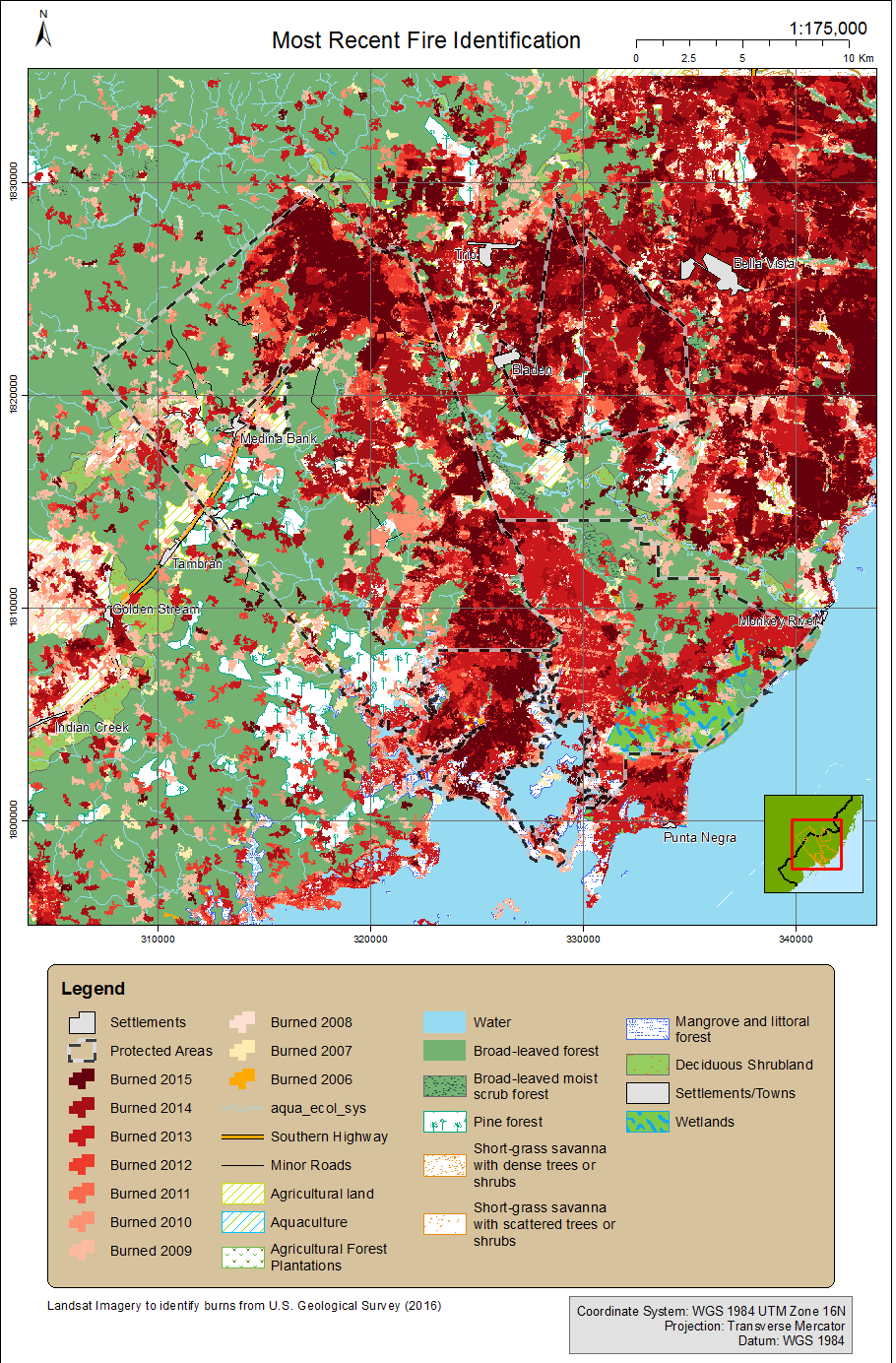
Results
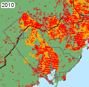
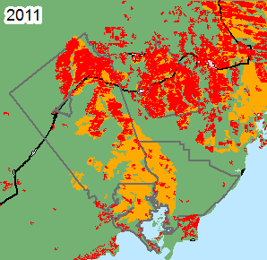
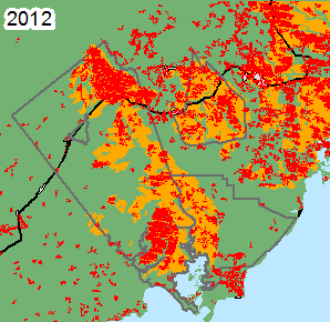
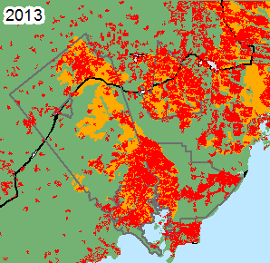
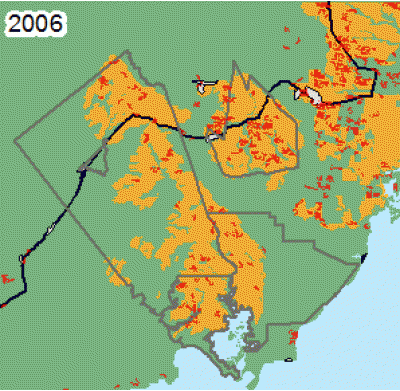
Burned areas were classified for the period 2006 -2015 inclusive. This included calculating the day by which each pixel burned.
|
Table 4: 2006-2015 10 Year Average Burn Scar Extent, by Area and Percentage of Land Cover Class where Burn Occurred |
|||||
|
|
Land Class |
Deep River |
Payne's Creek |
Swasey Bladen |
Study Area |
|
Savanna |
Mean area (Km2) (σ/µ) |
32.29 (0.37) |
15.88 (0.64) |
21.39 (0.41) |
127.31 (0.30) |
|
Mean percentage area (σ) |
32% (12%) |
31% (20%) |
42% (17%) |
37% (11%) |
|
|
Non-Savanna |
Mean area (Km2) (σ/µ) |
8.29 (0.59) |
7.98 (0.59) |
1.85 (0.42) |
109.09 (0.40) |
|
Mean percentage area (σ) |
5% (3%) |
9% (3%) |
20% (8%) |
7% (3%) |
|
|
Combined |
Mean area (Km2) (σ/µ) |
40.58 (0.35) |
23.86 (0.67) |
23.24 (0.4) |
236.40 (0.31) |
|
Mean percentage area (σ) |
15% (5%) |
17% (11%) |
39% (15%) |
13% (4%) |
|